
Communication Builds Our Community
Communication Builds Our Community
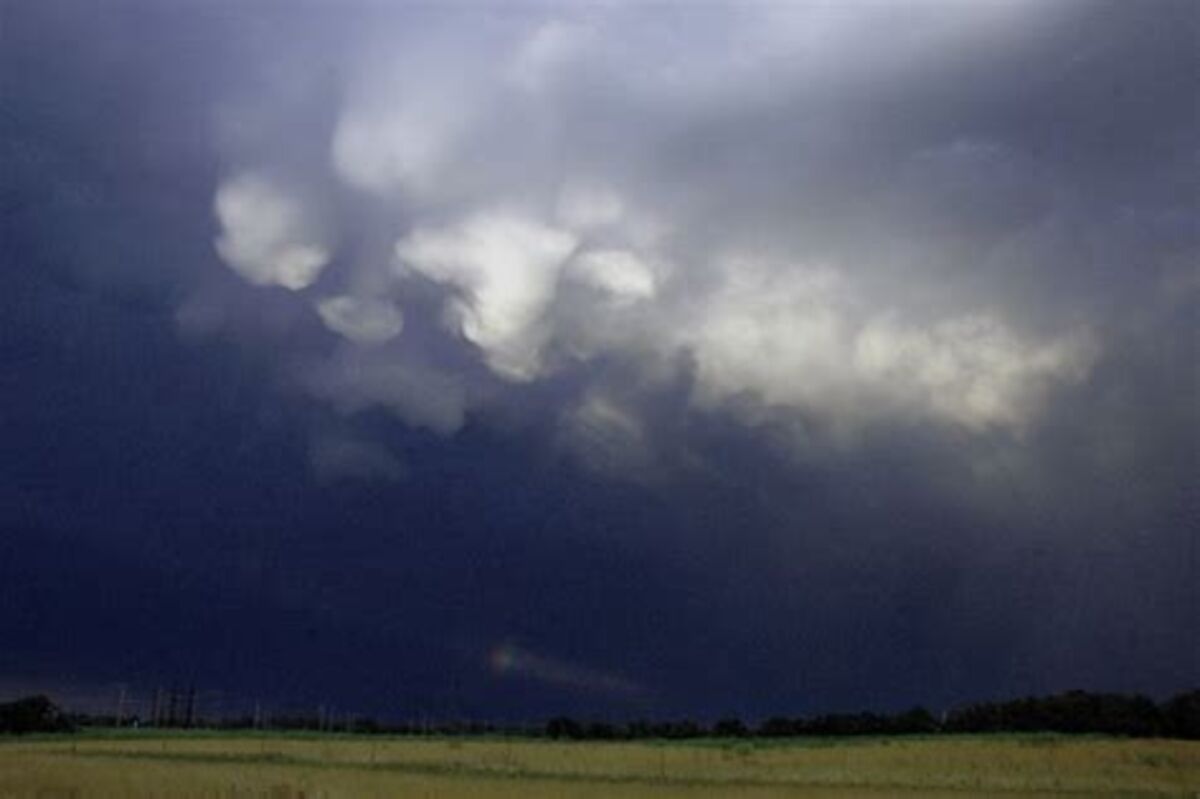
Caution Urged in Late Afternoon, Evening Hours
Severe Thunderstorms are expected over the Florida peninsula today, with a concentration along the inland areas including eastern Polk County.
Large hail is capable of doing severe damage to vehicles, trees, and roofs. If possible vehicles should be parked in sheltered areas today.
APRIL 26 - A caution from the National Weather Service warns of the likelihood of severe weather today that is expected to include "large to very large hail," along with the potential for very strong downburst winds from thunderstorms. All areas of eastern Polk County are included in the alert.
The strong storms will be generated by very cold air aloft and a dip in the jet stream creating a "vort max," or a vortex-type bend in the jet that causes rapid ascension of heated air from the surface.
According to the Ruskin office of the NWS, there is a pool of "climatologically significant" cold air aloft, ranging from -13 to -15 degrees below on the centigrade scale.
"This is a rather unique set-up for the forecast area, with numerous severe weather parameters coming together on the high end of the scale," the statement said.
Most of inland Florida is included in the warning, but light steering currents at the surface will allow a collision of sea-breeze fronts from both coasts, which are likely to occur near or over southeast Polk County.
"The strongest storms will likely occur over the interior during the mid/late afternoon," the NWS report continued.


Reader Comments(0)