
Communication Builds Our Community
Communication Builds Our Community
Area Schools Closed Wednesday, Some May Reopen on Thursday
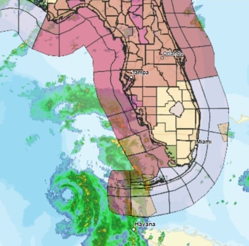
A 9:30 am radar image clearly depicts the eye of Hurricane Idalia jest west of Key West. Movement has continued northward overnight. A mosaic of warnings and watches, including storm surge, hurricane, tropical storm, and flash flood alerts, blanket most of Florida. For the Lake Wales Ridge area, a Tropical Storm warning remains in effect through Wednesday.
The threat of a direct strike from Hurricane Idalia on east Polk and the Lake Wales Ridge area continues to diminish this morning as the storm has continued on a northerly track with no sign of a dreaded turn to the east. That much-feared jog would bring the storm ashore on Florida's populous west coast rather than the sparsely-populated Big Bend area.
Nevertheless, precautions continue in Polk County for anticipated tropical storm-force winds and the possibility for heavy rains.
Idalia reached Hurricane intensity overnight, and is expected to undergo a period of rapid intensification today as it moves parallel to the west coast of Florida, assuring that it will make its closest pass to our area as a major Hurricane with winds exceeding 112 mph. .
Polk County public schools have announced closings for both Wednesday and Thursday. Lake Wales Charter Schools will be closed on Wednesday, and evaluate conditions before determining a potential return to classes on Thursday. Widespread power outages would preclude that option, according to officials. Lake Wales News.net will publish changes to school schedules as they are announced.
Those wishing to access sandbags to protect against possible flooding in low-lying areas can pick up bags at the Lake Wales Fire Department. Sand to fill them is available at Lake Wailes Park. Other locations for sandbags are at Polk Road Maintenance units in Frostproof at 350 County Road 630A, phone (863) 635-7879, or in Dundee at 805 Dr. Martin Luther King St. SW, (863) 421-3367.
Heavy rainfall is forecast over the Lake Wales Ridge area and west central Florida in particular, but should not begin until late today or tonight. A dry summer has left area lakes with excess capacity, so the risk of serious flooding is quite low.
A dip in the jet stream is still forecast to push Idalia to the east beginning tonight or Wednesday morning, causing it to reach the coast north of Cedar Key. Three times in the last 19 years similar forecast tracks led to storms that shirted their tracks to the east ahead of forecast, causing direct strikes on the Lake Wales area.
Residents are encouraged to complete their preparations for the storm, enacting Hurricane plans. Maintaining supplies of water and canned or dried foods and emergency or solar lighting can provide essential comforts. Filling empty plastic containers to 90 percent full and placing them in empty space in freezers will help sustain frozen foods for longer periods of time in the event of power outages.
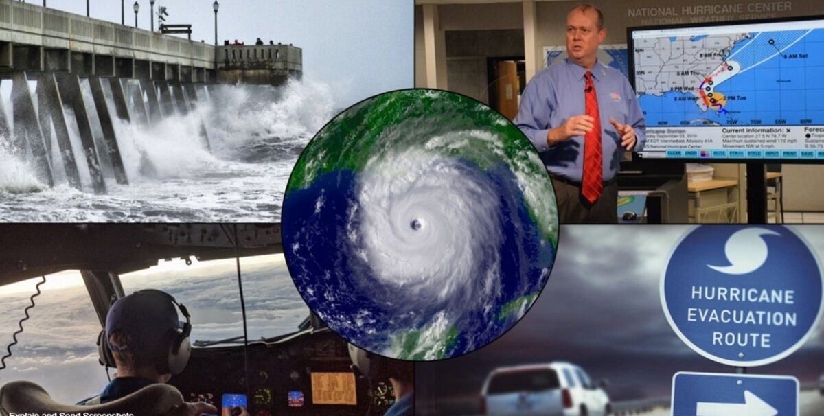
Lake Wales News.net will bring fresh updates at least every six hours as we continue to track developments. We use a variety of modelas and software to track conditions in the tropics and bring readers our locally-focused analysis of potential threats. The potential development of this system was predicted by our monitored models two weeks ago, as reported in our story of August 14.
Readers are again reminded to update their Hurricane plans.


Reader Comments(0)