
Communication Builds Our Community
Communication Builds Our Community
Lake Wales Ridge area residents can expect to see the sunny skies of the weekend replaced by more towering cumulonimbus clouds this week, but the threat of hurricanes and severe weather remain low as the heart of the storm season passes quietly here.
Recent rains have raised area lake levels which had lagged during the drier-than-normal summer. More rain may be on tap this week as a moister air mass returns on southerly winds.
After a two-day spell of autumn-like weather to mark the official start of the season this weekend, summer-like rains are expected to return to Florida, but the threat of a tropical storm or Hurricane remains distant.
Computer models are showing a benign pattern remaining over the central Atlantic basin, with protective upper-level winds deflecting storms northward and away from Florida.
After the rapid pop-up of Tropical Storm Ophelia just off the east coast of Florida last week, long-range models are showing only a rapidly-intensifying Tropical Storm Philippe over the distant Atlantic. After moving toward the US mainland it is expected to make a northward turn well east of the continent.
Ophelia, meanwhile, brought heavy rains and winds to the coast of North Carolina and Virginia, but only heavy rains, high surf, and beach erosion were felt by relieved Florida residents.
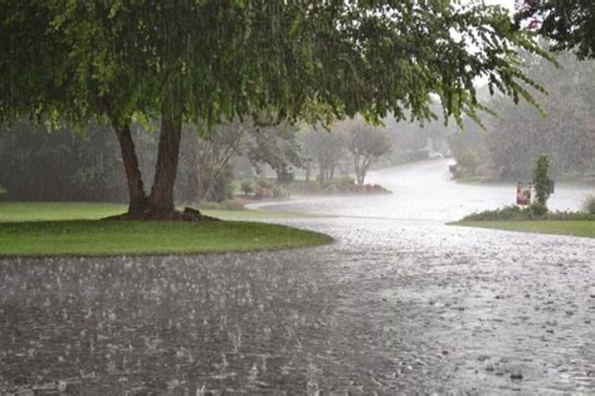
Heavy rains hit the Ridge area during as the nascent low-pressure system drifted across the peninsula before getting organized. A storm on Wednesday, September 20, left widespread totals of four to six inches across an area stretching from Dundee to Frostproof.
"Equinoctial storms," that is those occurring near the autumnal equinox, are often strong and heavy producers of rain, according to the lore of sailors and farmers.


Reader Comments(0)