
Communication Builds Our Community
Communication Builds Our Community
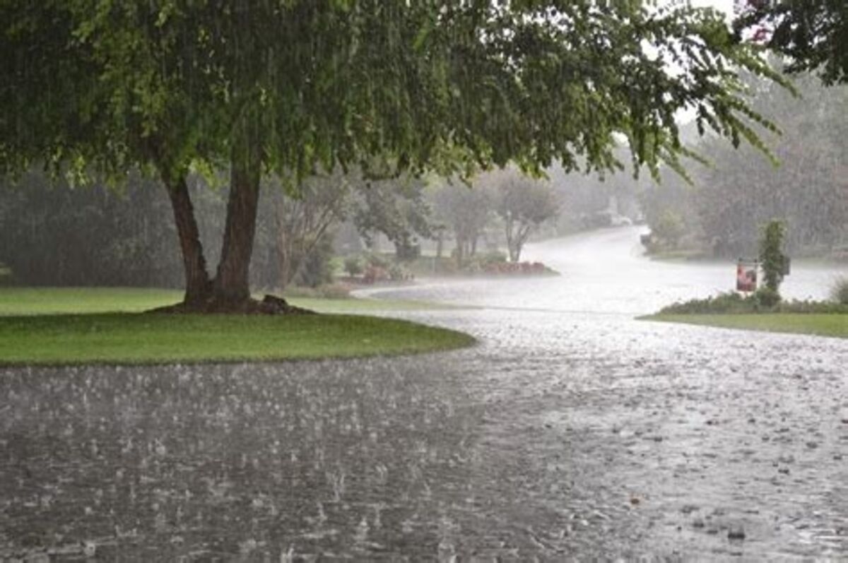
Rain Chances Will Increase Starting Next Week
Scorching temperatures are expected to bake the Ridge area this week before increasing clouds bring growing rain chances to the area early next week.
Floridians acclimated to warmth may still be shocked to encounter temperatures rising into the 90s to near 100° this week under sunny skies. Long-range models are showing that relief could come with more cloud cover beginning as soon as Sunday.
The baking temperatures are adding to the stress of gardens, lawns, and even trees. Most of the Lake Wales area has received less than an inch of rain since early March, leaving soils in or near drought status.
The blessing of rainfall has been a scarce commodity in central Florida for months. Soil conditions are at or approaching drought conditions as the area faces a serious heat wave this week.
NOAA's Climate Prediction Center maintains the National Integrated Drought Information System, which presents a broad-brush depiction of where drought conditions exist nationally. Its latest monthly drought outlook for May 2024, indicates that "drought conditions are likely to develop over the next month" in this part of Florida.
Locally, the dry conditions are causing headaches for Preston Troutman, 86, a dedicated volunteer with Lake Wales Heritage. The group has been planting new street trees across the city to create shade and restore the city's original landscape plans created by Frederick Law Olmsted.
"Young and baby trees are like humans and other living creatures," Troutman said. "They have to be nursed in their infancy until they are able to nourish themselves. The first six months after their planting are their most vulnerable period."
Troutman has been helping haul water to sustain the young trees, and expressed frustration that many will not survive. Some of the trees the group has planted have cost more than $400 each.
The only real relief will come in the form of near-daily rains, which are a fixture of most summers here. Those normal "monsoon" rains are driven by a high-pressure system that normally sprawls across the central Atlantic Ocean in summer.
The clockwise winds generated sweep moisture-laden air from the tropics and the Caribbean northward over Florida, feeding the normal thunderstorm regime. Unfortunately, those same winds also sometimes guide hurricanes in our direction.


Reader Comments(0)