
Communication Builds Our Community
Communication Builds Our Community
Lake Wales Experienced Significant Rainfall Deficit in 2023
A return to a more-typical summertime pattern of slow-moving thunderstorms may be on the horizon after the persistent "heat dome" over the Southwest shows signs of breaking down. The pattern change could also make tropical storms more likely.
Tropical storm development over super-heated Atlantic basin waters is becoming more likely due to a change in a stubborn upper-wind pattern that has kept the Lake Wales Ridge area in a stubborn drought.
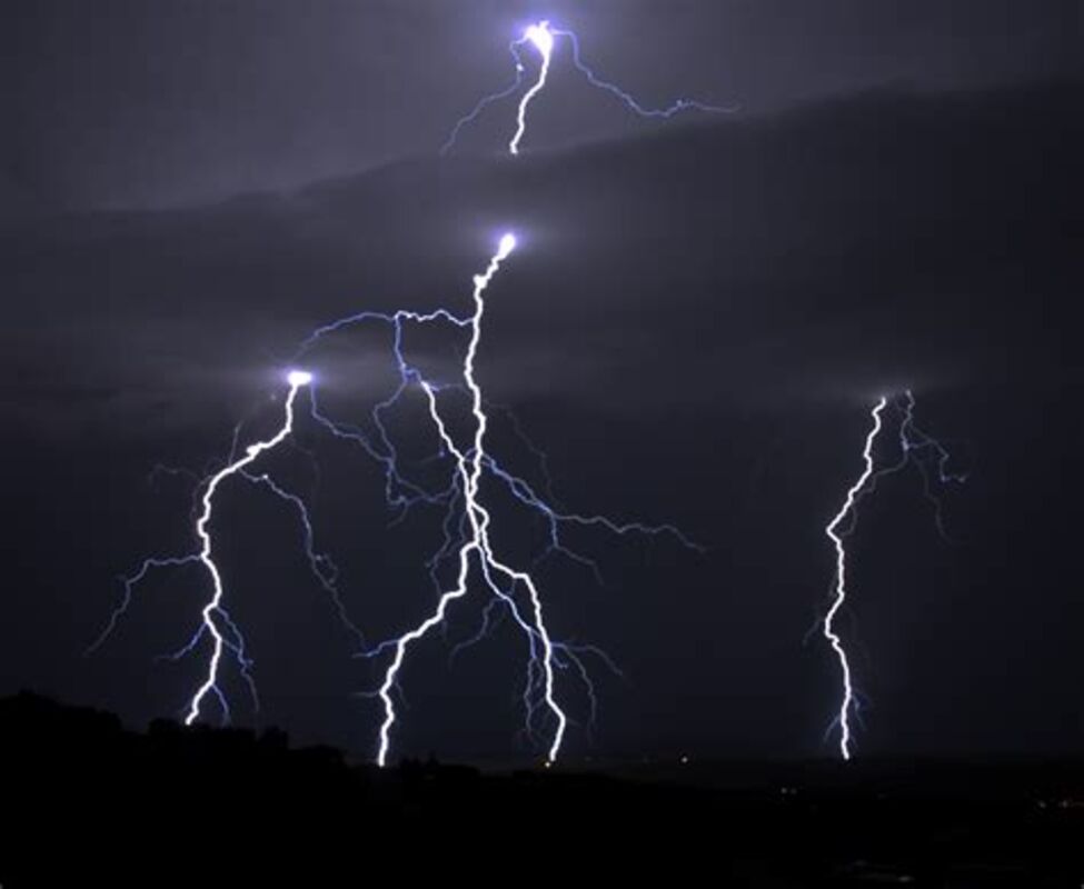
After a sputtering start to the expected summer rainy season, a wetter pattern may soon take hold over the Lake Wales Ridge area, but it could open the door for a busier Hurricane season as well.
The deadly "heat dome" that has baked much of the nation and lingered for months was caused by a static pattern of mid-level winds that is finally breaking down.
The unusual atmospheric traffic-jam in the west-to-east flow of weather has caused Florida to fall under a regime of strong westerly winds carrying drier, continental air over the state.
At last, models are showing the eroding of the high, allowing Atlantic air to begin streaming north. That should cause a more-normal summertime pattern of afternoon thunderstorms triggered by afternoon sea-breezes meeting over the peninsula. Slow-moving storms drop substantial rainfall, helping the area reach its normal annual total of about 54 inches.
The "stuck" atmosphere that has broken heat records across much of the Southwest and Central Plains has also caused deadly flooding in some areas of the nation, while others are suffering from serious drought. Rainfall as measured by the LakeWalesNews.net weather station shows a deficit of nearly a foot during 2023.
The changes in the atmosphere over Florida and the continental US have a downstream effect upon weather in the tropical Atlantic. August and September are the peak of the Hurricane season and typically the period of intense storm formation from tropical waves coming off the African continent near Cabo Verde. Reduced wind shear east of the Caribbean allows those waves to build strength and ultimately threaten Florida.
Adding to the threat of hurricanes is an Atlantic Ocean that is setting temperature records. Oceanic heat is the driver of the severe storms as the earth attempts to cast that heat into space, driving powerful rising thermal currents.
LakeWalesNews.net will continue our detailed coverage of Hurricane season, and in the event of a storm that may affect our area, provide updates on potential local impacts as often as two hour intervals. Many readers expressed their gratitude for our steady coverage and updates during Hurricane Ian last year.


Reader Comments(0)